
Mapping Chanterelle Hotspots Across the USA
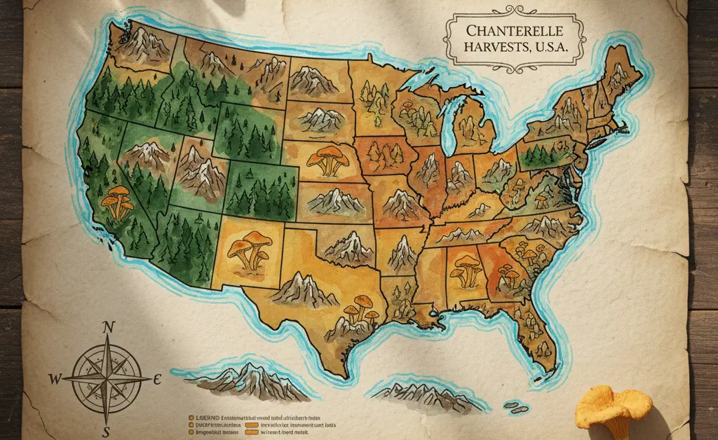
Ever wondered about the elusive journey of the golden chanterelle, a prized edible mushroom, across the diverse landscapes of the United States? These sought-after fungi aren’t found just anywhere; their presence is dictated by specific environmental conditions. Understanding their distribution is key for foragers and enthusiasts alike. This exploration delves into the fascinating patterns of where these delightful mushrooms thrive, offering insights into the factors influencing their growth. We aim to provide a clear picture of their geographical spread, making it easier to appreciate the natural bounty of our forests. A detailed chanterelle mushroom range map USA is an invaluable tool for anyone interested in locating these culinary gems.
Chanterelle Mushroom Range Map USA
Chanterelle mushrooms are broadly distributed across the United States, yet their presence is far from uniform. These fungi form mycorrhizal relationships, meaning they have a symbiotic partnership with the roots of specific host trees. This relationship is the primary factor dictating their location. A comprehensive chanterelle mushroom range map would show dense clusters in certain regions and complete absence in others. The key ingredients for a chanterelle hotspot are the right trees, appropriate soil composition, and, most critically, adequate moisture and temperature.
These mushrooms thrive in well-drained, acidic soil and are often found on slopes and ridges where water doesn’t pool. Their growth cycle is intricately linked to weather patterns, with significant rainfall after a dry period often triggering a “flush,” or the emergence of fruiting bodies. Because of these specific requirements, chanterelles are a true treasure of the forest, and understanding their ecological needs is the first step for any aspiring forager.
Where do chanterelles grow in the US?
In the United States, chanterelles can be found in several key regions. The Pacific Northwest, including states like Oregon, Washington, and Northern California, is famous for its prolific chanterelle seasons, particularly for the Pacific golden chanterelle. Here, they associate with Douglas fir and other conifers in the region’s lush coastal forests.
The East Coast is another major stronghold, with various chanterelle species growing in mixed hardwood forests from New England down through the Appalachian Mountains and into the Southeast. States like Georgia, the Carolinas, and Tennessee are well-known for their summer chanterelle harvests, where the fungi associate primarily with oak and beech trees.
The Midwest and Gulf Coast states also host chanterelle populations. They can be found in the woodlands surrounding the Great Lakes and throughout the oak-hickory forests of states like Missouri, Arkansas, and Texas. However, their presence is often more localized and highly dependent on seasonal rainfall compared to the consistently damp forests of the Pacific Northwest or the humid summers of the Southeast.
Golden Chanterelle Mushroom Range Map
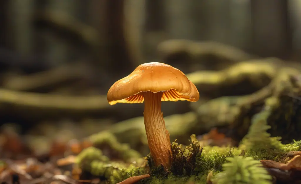
When people refer to “chanterelles,” they are often thinking of the vibrant, egg-yolk-colored Golden Chanterelle. However, what was once thought to be a single species, *Cantharellus cibarius*, is now understood to be a complex of many different, albeit visually similar, species. A golden chanterelle mushroom range map reveals that different species dominate different parts of the country.
In the Pacific Northwest, the star is the Pacific golden chanterelle (*Cantharellus formosus*), which is the state mushroom of Oregon. It grows in a symbiotic relationship with coniferous trees like Douglas fir and Western Hemlock. On the other hand, the eastern United States is home to several distinct golden chanterelle species that favor hardwood forests, particularly those rich in oak trees. These species, such as *Cantharellus “appalachiensis”*, are adapted to the warmer, more humid summers of the region. The chanterelle mushroom season UK also follows distinct regional and climatic patterns.
Understanding this species diversity is key to interpreting any range map. While the general appearance and habitat are similar, the exact timing of their fruiting season and subtle differences in their preferred tree partners can vary significantly from one region to the next. This highlights the importance of local knowledge when searching for these prized fungi.
Chanterelle Mushroom Range Map California
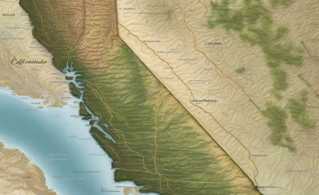
California offers a unique and celebrated season for chanterelle foraging. The state’s chanterelle populations are concentrated primarily in the coastal forests, extending from the Bay Area northward through Sonoma, Mendocino, and Humboldt counties. A chanterelle mushroom range map for California would show these coastal zones as the primary hotspots, with sparse to no presence in the arid inland and southern regions of the state.
Unlike in the eastern US where chanterelles are a summer mushroom, California’s season is dictated by its Mediterranean climate. The fruiting typically begins after the first significant autumn and winter rains, usually from late November through February. This makes chanterelle hunting a popular rainy-day activity for many Californians.
In California, chanterelles form crucial relationships with specific trees. The Pacific golden chanterelle (*Cantharellus formosus*) is often found in association with Douglas fir trees. Another common find, the “mud puppy” or “rainbow chanterelle” (*Cantharellus roseocanus*), has a strong preference for the tanoak and live oak woodlands that characterize much of the coastal range. Successful foraging in the Golden State requires patience, waiting for the winter rains to awaken the fungal networks hidden beneath the forest floor.
Chanterelle Mushroom Range Map 2021

Examining a hypothetical chanterelle mushroom range map for 2021 provides a valuable lesson on the dynamic and variable nature of mushroom growth. A map from any single year is merely a snapshot, heavily influenced by the specific weather events of that year. The abundance and distribution of chanterelles can fluctuate dramatically from one season to the next based on rainfall, temperature, and drought conditions.
For example, if the Pacific Northwest experienced a severe drought in the fall of 2021, the chanterelle harvest in Oregon and Washington would have been significantly smaller and more localized than in a year with average or above-average rainfall. Conversely, if the Southeast experienced an unusually wet and mild summer in 2021, foragers there might have seen an exceptionally abundant and prolonged season. These annual variations demonstrate the limitations of static range maps.
Advanced foragers learn to think beyond fixed maps. They use historical range data as a baseline but overlay it with current and recent weather information. By tracking precipitation data, they can predict when and where conditions are becoming favorable for a chanterelle flush. Therefore, a map from 2021 is less of a permanent guide and more of a case study on how environmental factors directly impact the fungal kingdom’s bounty in a given year.
Ultimately, a static map can tell you where chanterelles *can* grow, but only recent weather data can tell you where they are *likely* to be growing right now. The most effective chanterelle mushroom range map is one that is constantly updated, whether by a community of foragers or by an individual who diligently tracks rainfall and understands the mushroom’s fundamental need for moisture. This dynamic approach transforms the search from a simple treasure hunt into a deeper engagement with the forest’s natural cycles. For general health guidelines related to interacting with natural environments, resources from the CDC can be valuable.
The information presented in this article is educational and not meant as professional medical counsel. Consuming wild mushrooms carries inherent risks, and proper identification is critical to avoid toxic look-alikes. This content should not be used as a guide for identifying or consuming wild fungi. Always consult with a local, experienced mycologist or an expert forager before eating any mushroom you have found in the wild. Your personal safety should be the top priority.
FAQ
Can you predict where mushrooms will grow?
Mushroom distribution is influenced by specific environmental conditions like soil type, moisture levels, and the presence of host trees, which together create suitable habitats. While precise predictions are challenging, understanding these ecological factors can help identify promising areas for foraging. The chanterelle mushroom range map can be a helpful tool in this regard.
How much rain do chanterelles need to grow?
Chanterelles typically require consistently moist soil to fruit, often developing after significant rainfall events. The exact amount of rain needed can vary based on regional climate and soil drainage, but a good soaking is generally a prerequisite for their appearance.
How long after a good rain do chanterelles appear?
Following substantial rainfall, chanterelles can begin to emerge within a few days to a couple of weeks. This fruiting period is influenced by factors such as soil temperature and humidity, which play a role in initiating mushroom development.
What is the best weather for chanterelle hunting?
The ideal weather for chanterelle hunting often involves a period of warm, rainy conditions followed by milder, humid weather with some sunshine. Such conditions promote the growth of mycelium and encourage the fruiting bodies to emerge from the forest floor.
How do you use a weather map to find mushrooms?
Weather maps can inform mushroom hunting by highlighting areas that have recently received, or are forecast to receive, adequate rainfall and sustained moisture. Looking for regions with consistent precipitation patterns, particularly after dry spells, can point to potentially fertile foraging grounds.
Continue reading
You May Also Like
Your Source for Fresh Chanterelle Mushrooms
Buy chanterelle mushrooms picked fresh and shipped directly to your door with our freshness guarantee, ready for your favorite culinary dishes.
Chanterelle Mushrooms: A Guide From Forest to Table
This guide teaches you how to safely identify, forage, and cook the prized chanterelle mushroom, with tips on cleaning and delicious recipes.
Navigating a Potential Chanterelle Mushroom Allergy
If you're concerned about a chanterelle mushroom allergy, this guide calmly explains the symptoms and what to do for a suspected reaction.